
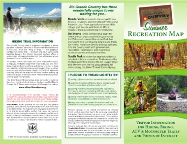
Page 1 - RGC Recreational Map
P. 1
HIKING TRAIL INFORMATION                                            Rio Grande Country has three                                            Summer
                                                                            wonderfully unique towns
Rio Grande County and it neighbors comprise a hikers                              waiting for you…                                            Recreation Map
paradise hundreds of miles of little used trails radiate out
of this area. From the “King of Trails,” — the gorgeous                 Monte Vista is home to the annual Crane                                     Visitor Information
Continental Divide Trail — to short one-hour walks along                                                                                             for Hiking, Biking,
babbling brooks, this Rocky Mountain enclave offers a                   Festival in March, and the Oldest Professional                           ATV & Motorcyle Trails
wide choice of mapped routes into five wilderness areas,                Rodeo in July. From agriculture to a wildlife                             and Points of Interest
National Forest and BLM lands.                                          refuge, golf course and Drive-In Movie
For safety, follow clear trails and use a map and compass               Theater, there is something for everyone.
to help you. Altitudes range from 7,700 to 13,600 feet. Your
body requires deep breathing and plenty of water to keep                Del Norte is the intersecting point for
your muscles and brain supplied with oxygen. Even summer
evenings can chill someone caught out without adequate                  three annual cross country bicycle races.
clothing. Most of the trails in the area involve walking up             Its 200-acre Lookout Mountain Park has
valleys or slopes, then back down. None are level or paved,             over eight miles of looping singletrack trails
so wear good hiking boots.                                              for hikers, mountain bikers and equestrians.
The Silverthread Hiking Group goes out each Tuesday at                  It is the county seat with government,
9am from the South Fork Visitors Center from Mid-May to                 recreation, healthcare, and numerous
October for 6-8 hour walks for ages 10-80 (no pets or radios).          outdoor events and opportunities.

                www.silverthreaders.org                                 South Fork is known for year-round family

IT IS RECOMMENDED THAT BEFORE THESE TRAILS BE                           oriented outdoor recreation. Trails abound for
ATTEMPTED, LOCAL SOURCES BE CONSULTED CONCERNING                        multiple activities and events like Logger Days
DIRECTION AND CONDITION OF TRAILS. DON’T RIDE ALONE,                    and Rhythm’s on the Rio, plus amazing fall
OR AT LEAST LEAVE A NOTE AS TO WHERE YOU ARE GOING!                     colors along the Silver Thread Scenic Byway.

DISCLAIMER: Routes provided on this map give only general               I PLEDGE TO TREAD LIGHTLY BY:
guidance. Each user has the responsibility for his/her own safety
and common sense. The mapped routes may appear quite different           Traveling only where motorized vehicles are permitted.
in the field due to user ability, weather, fallen trees, sign loss and
other conditions. Always be prepared for inclement conditions and        Respecting the rights of hikers, skiers, campers and
be alert to daylight and distance. You don’t have to follow the entire   others to enjoy their activities undisturbed.
trail, pick a time when you start and turn around where ever you are
at that time, so that you make it back to the trail head before dark.    Educating myself by obtaining maps and regulations
                                                                         from public agencies, complying with signs and barriers
  © 2017 Rio Grande Country. Created by True North Designworks           and asking owner’s permission to cross private property.

                                                                         Avoiding streams lake shores, meadows, muddy roads
                                                                         and trails, steep hillsides, wildlife and livestock.

                                                                         Driving responsibly to protect the environment and
                                                                         preserve opportunities to enjoy my vehicle on wild lands.

                                                                        Potential damage to our natural environment on National
                                                                        Forest Lands is intensified due to the increasing popularity of
                                                                        4-wheeling. Potential damage may occur to soil, water, wildlife,
                                                                        visual and solitude components on the forest(s). Tread Lightly is
                                                                        a program developed to educate and inform forest users on how
                                                                        to enjoy 4-wheeling without damaging the resources or negatively
                                                                        affecting others enjoyment of public lands.
                                                                        Accept a challenge that will truly test your skills and follow the
                                                                        Tread Lightly Pledge. It is your responsibility to Tread Lightly and
                                                                        protect the environment for your enjoyment now and for future
                                                                        generations. Further information on the Tread Lightly Program
                                                                        can be contacted through your nearest U. S. Forest Service office.